Mull: Ben More (189) - THE LAST MUNRO!
Walk date: 06/08/16
My Munro #'s: 282 / 282!
Pronunciations - translations - heights:
Byn moar - big hill - 966m
Statistics:
Duration - 09:30 to 15:00
Distance - 10.3 km
Total ascent - 1131 m
Weather - dull, but calm for most of the ascent. Very strong wind and quite wet for most of the descent.
Team - Paul P, Sónia, Steve, Jenny, Alison, Andrew L, David, Gabi, Stefan
Other hikers: several
Total ascent - 1131 m
Weather - dull, but calm for most of the ascent. Very strong wind and quite wet for most of the descent.
Team - Paul P, Sónia, Steve, Jenny, Alison, Andrew L, David, Gabi, Stefan
Other hikers: several
Just a tourist path for a bigger group:


The speed takes a hit in the middle for whisky time!

Well, after a fair old time traipsing around Scotland on this mission, all good things must come to an end! And so, August 2016 saw My Gang assemble on the fair Isle of Mull at and around the Craignure campsite. Sónia and I were there with the kids and my folks for the week leading up to it, with others turning up on the Thursday and the Friday ready for the Saturday ascent.
Regular hiking buddy Paul was of course in attendance, as was Sónia thanks to the grandparents on hand for babysitting duties (early enthusiasm for taking kids up the hill waned for all of us along with the weather). Completists Steve and Dave were showing us the way it's done, and new Munro-er Stefan was adding to his number. We were joined with hiking friendly Jenny and Gabi, and hiking unfriendly (but damn fast) Alison and Andrew L. Unfortunately, a few of the enthusiastic had to stay on babysitting duties (Andrew R, Bridget, my Dad) and the weather meant we couldn't really coerce Gary to ascend the 3000ft of bog and rock!
Once Steve had finally packed his rucksack (!) and Paul had finished his banana, we made good progress up the obvious lower slopes of the tourist path (a much easier route for a larger group and for the forecast poor weather). Before long, we encountered the boggy ground mentioned in all of the books, and stayed with its charms for well over an hour. After the river crossing which was easy enough, the incline increases and the route becomes more solid rock.
Unfortunately here, it became obvious to Jenny that she wasn't getting enough air in due to recent sinus issues and she insisted on staying down while equally insisting we carried on. Big love to the lass for even attempting it in that context, and I was still very happy that she was on the same hill as us anyhow.
Once on the rock, we were also in the cloud, but things were still good in the main. The wind did pick up a couple of times but progress was still very good. In fact, for Andrew and Alison, it was so good they were totally out of view!
After a good amount of climbing, the incline lessened off, and I can well imagine that the views were amazing. For us, there was an ominous drop into thick cloud to the north and the faint sound of voices ahead. Eventually, figures and a cairn emerged and I had just a few steps to go (and some hugs and handshakes) before my last 'fresh Munro' steps were over.
It was then a time for celebrations, but having not had my gloves on for the last blast of wind, opening champagne and a new bottle of Lagavulin 16 wasn't exactly an easy thing! Nevermind, it was soon done, with the champagne cork making quite a bid for freedom (I usually save corks from special occasions and write the event on them, but I think with the reduced air pressure this one went into orbit!). With these, and an amazing bottle of single cask Glen Moray that Andrew had brought up, we were all kept quite warmed enough to spend a full hour for chatting and lunch on the summit.
After that, and with rain and the wind coming on, it was time to make a break for it. Strangely, with a whisky warmth in my belly we didn't mind all the wind and rain that much anymore, but still, progress had to be made. We had a quick stop to wisely get Stefan into his waterproof trousers, but otherwise it was just plodding along). For a while, you could only pick out the coat in front to follow, but eventually the wind lessened making the going easier (the rain however, was here to stay!).
Before long we were down back at the cars and passing on the hugs to Jenny who had patiently waited. The wettest clothes were removed and shelter quickly sort in the cars. While Sónia drove us back, me, Alison and David had another quick Lagavulin just to make sure it was as nice as we'd remembered (it was).
That night saw the full party of 25 have a private room in the Craignure Inn for dinner, and very nice it was, especially as the storm continued outside as we all sat in the warmth! Basically, a fantastic and very enjoyable end to this quest, so thank you to all for joining in on any part of the journey. Some day I'm going to transfer all of this to an actual website rather than a blog for ease of navigation, but don't wait up for that!
Cheers all! And happy hiking!
George
---------------------------------------------------------------------------
The gang (minus Jenny taking the picture and Steve doing some faffing!):

Alison gearing-up!

And loving the hiking!

As is the Leach with a high-altitude supervision session!

The rest of the gang catching-up with 'non-hikers' Alison & Leach:

Here we are:

Ulva in the background:

Alison legging it:

Pretty, but you have to cross it!

Done!

Don't look down!

Dealing with the bog!

Steve and David on firmer ground:

Comparing GPS notes - they both say 'up':

Getting to the cloud:

Sónia loving her return to the hills:

Getting craggy up high:

Well, those were the views!

Still smiling!

Steve too:

Completist coming through the mist!

Last 'fresh' Munro steps:

Last 'fresh' cairn touch:

No escaping the papz!

Handshakes all round:
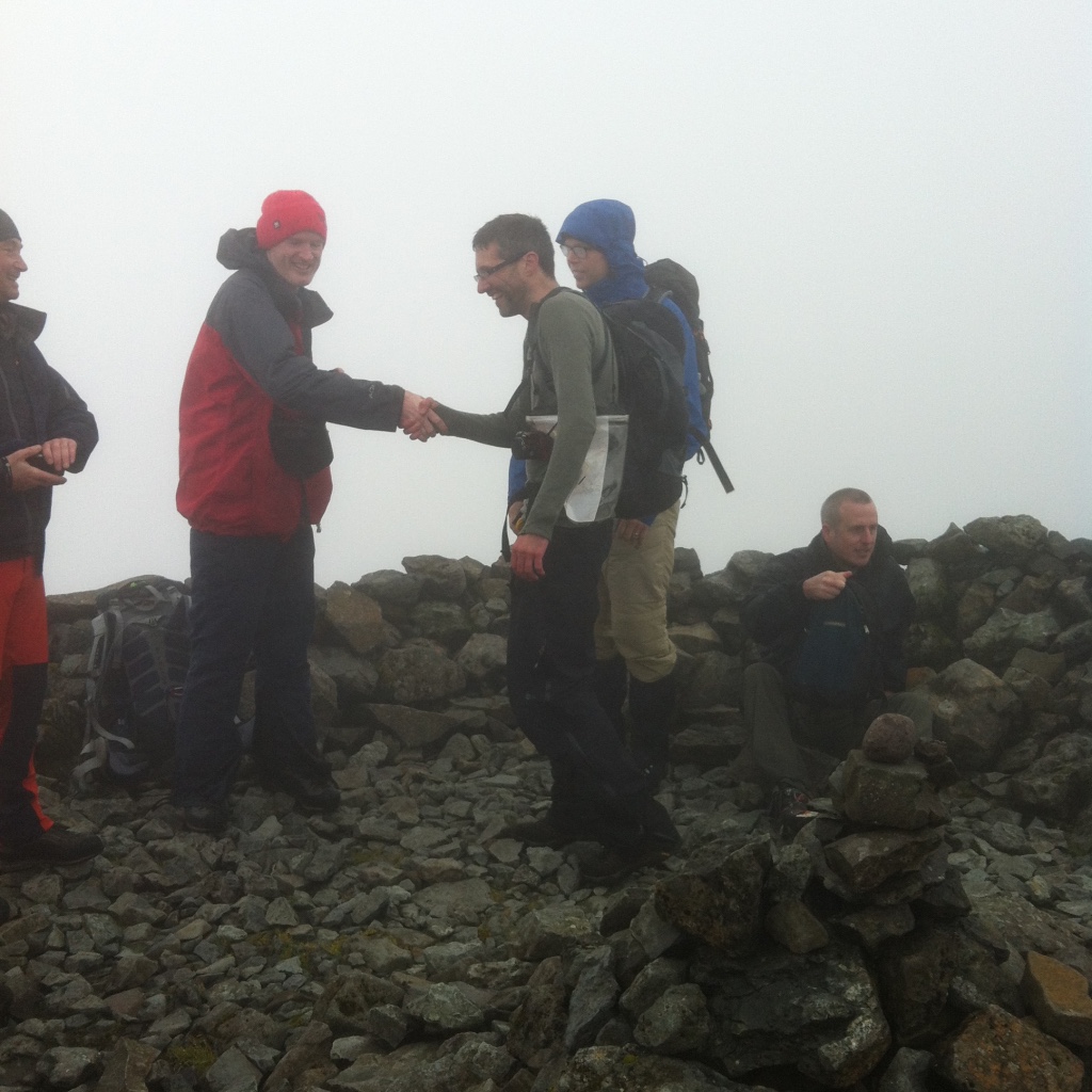


And a special one from wingman Paul P!

Summit bar time!


With 'fire' in our bellies, we made a break through the incoming storm:


Terrific party time down in the Craignure Inn:


Labels: Alison, Andrew L, Ben More, Craignure, Craignure Inn, David, Gabi, hiking, Isle of Mull, Jenny, munro, Paul P, Skye and Mull, Sonia, Stefan, Steve W
posted by George at 18:47
2 comments
![]()
![]()

