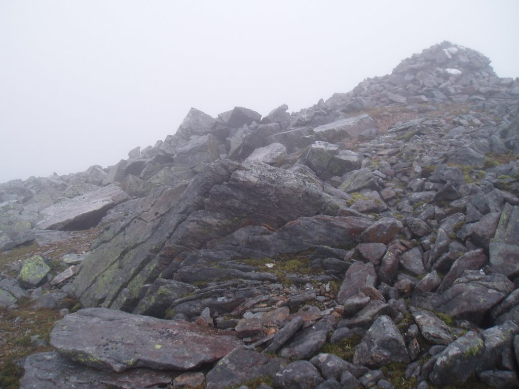
The Mamlorn Hills: Beinn Heasgarnich (62) and Creag Mhor (84)
Walk date: 13/4/13
My Munro #'s: 234 and 235
Pronunciations - translations - heights:
Byn heskarneech - peak of the roaring waterfall of the horses - 1078m
Craig vore - big rock - 1047m
Statistics:
Duration - 09:30 - 19:00
Distance - 21.9km


Day 1 - Saturday
Moving quickly on from the summit we walked along the south ridge in absolutely pure white conditions; cloud and total snow cover conspiring to remove any hope of depth perception and we moved very carefully indeed. At Stob an Fhir-Bhoghe, we had to descend but had no visible line at all, and in high cold winds we paced back and forth trying to make out any helpful markers but to no avail. Eventually we started down what appearted to be the most gentle slope but even that led to a whole lot of slipping and sliding, descending was proving much harder on this white stuff!
Finally, we got low enough that we dipped below the cloud and breathed a collective sigh of relief. We had come down much more towards the home glen than the route onward, and with the continuing descent taking considerable time, we seriously contemplated dropping Creag Mhor from the day's billing. However, a sturdy lunch in sight of this hill combined with greatly improving conditions tipped the balance and as the afternoon pushed on, we made our slow way to the bealach between these two hills.
Total ascent - 2196m
Weather - low cloud for first half of day and feisty winds around first summit, but cleared up for 2nd hill with cloud above hills and low wind
Team - with Paul P
Other hikers: 4
In so much snow, the optional Ben Callum was soon forgotten!


Day 1 - Saturday
And so, the days of the annual hiking fest were with us! Shaking the dust off the gear and remembering how to plot routes and navigate, we got ourselves into some sort of shape (organisation-wise and most definitely not fitness-wise!), and holed up at Crianlarich, ready to start things off with some Mamlorn Hills. Our original plan for the first day had been finishing off the Alder group, complete with a night in Culra bothy beforehand, but with such a late winter we had had many last minute revisions of plans, scaling ambitions back, and very wise that was too!
With the day starting dull, we trekked from the car park up into cloud fairly quickly. The cloud provided an ominous veil, allowing our fears of just how snow clad the hill would be to amplify significantly. Sure enough, we were met by some large patches as low as 500m, not even halfway up the hill! Things weren't helped either by the fact our plotted route came up on a deer fence, and in the fog we had no choice but to scale it, good job this was the first day and we were relatively fresh!
The going after that was fairly steep on frozen grassy slopes, which gradually gave way to full on snowy slopes. After 700m the incline lessened, and we enjoyed a pleasant stroll in almost pure white conditions, with at that time no wind to speak of.
This finished all too soon and the steep rise for the summit began, but fortunately here we met some trustworthy footprints which simplified the navigation somewhat (although checks were still made!), and reassured that in the very least others were just as mad as us. The fact they came in from the east though suggested that that was probably a better approach and would have certainly avoided the deer fence!
Towards the top the wind started to pick up and the last stretch despite the softer incline was quite fierce as we weaved between some amazing wind sculptured ice and snow formations (but no so amazing that I was moved to stop in the cold and start taking pictures!).
Finally, we got low enough that we dipped below the cloud and breathed a collective sigh of relief. We had come down much more towards the home glen than the route onward, and with the continuing descent taking considerable time, we seriously contemplated dropping Creag Mhor from the day's billing. However, a sturdy lunch in sight of this hill combined with greatly improving conditions tipped the balance and as the afternoon pushed on, we made our slow way to the bealach between these two hills.
From the bealach Creag Mhor was seriously steep, and the northern slope was distinctively icy in patches that we concentrated on avoiding! By this point we were very tired, and it was a case of a half dozen steps followed by a serious groan, and then repeating! In this manner we finally made it to the summit, and looked back at Beinn Heasgarnich, studying the slopes that had caused us such bother earlier in the day.
Fortunately, the slopes off Creag Mhor were much kindly, with the long SE ridge providing a quick descent, although it did toward the end veer east on grassy slopes that were incredible slippy due to the frozen ground.
Once down on the road we crushingly still had an hour of stomping to do, but the wind was down and the conditions were dry so it was strangely enjoyable to pace it out, just a shame about the three hour drive after that! The pint of Stag was truly well deserved when we finally did arrive at The Struy Inn!!
Paul's big hat is on; it must be serious!

Follow those foot prints, they look knowledgeable:

A view!!!

Creag Mhor, second target of the day:

And it has a nice SE ridge to walk down:

Looking across Glen Lochay to the SE:

The abandoned hill, Ben Callum:


The Struay Inn which greeted us that night after a 3 hour drive!!

The second room where our amazing breakfast was served!
Labels: Beinn Heasgarnich, Creag Mhor, hiking, munro, Paul P, The Mamlorn Hills
posted by George at 19:12
0 comments