Rannoch and Glen Lyon: Schiehallion (59)
Walk date: 28/10/06
My Munro #'s:
Pronunciations - translations - heights:
Shee-haal-yan - Fairy Hill of the Caledonians - 1083m
Statistics:
Duration - 11:30 - 14:00
Distance - 10.5km
Weather - started with rain, but turned warm before cloud at ~800m. Rain in cloud.
Team - solo
I wasn't free-styling, they've moved the path!

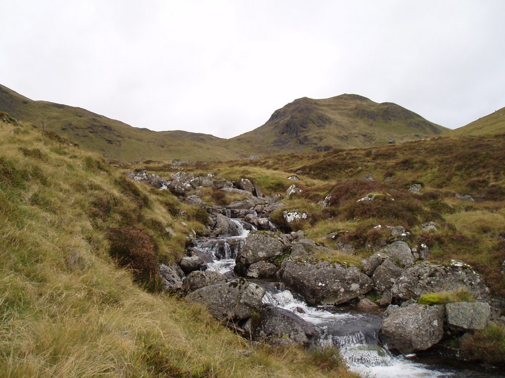
Here we go again:

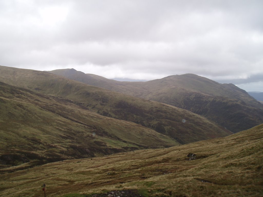
Looking SE along Allt Mor:

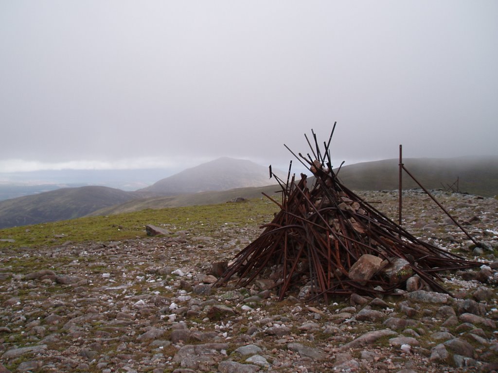
Tiny cairn upon one of the many summit rock slabs:

100th Munro commentary:
I kid you not; on the route, the hamlet of Dull*:

With weather forecasts predicting 55mph gusting wind and flooding, I took the light drizzle coming down as a fore-runner of the impending meteorological doom, and fully suited up, including my way-too-small waterproof trousers that make me feel like I'm being cut in half whenever I put them on. As I made my way along the solidly constructed path (a wise measure against erosion on this popular route) and started climbing, the rain stopped, the sun came out, and it became apparent that I was wearing about 50 layers more than I needed. A quick de-robing occurred, but I left the cheese-wire trousers on just in case!
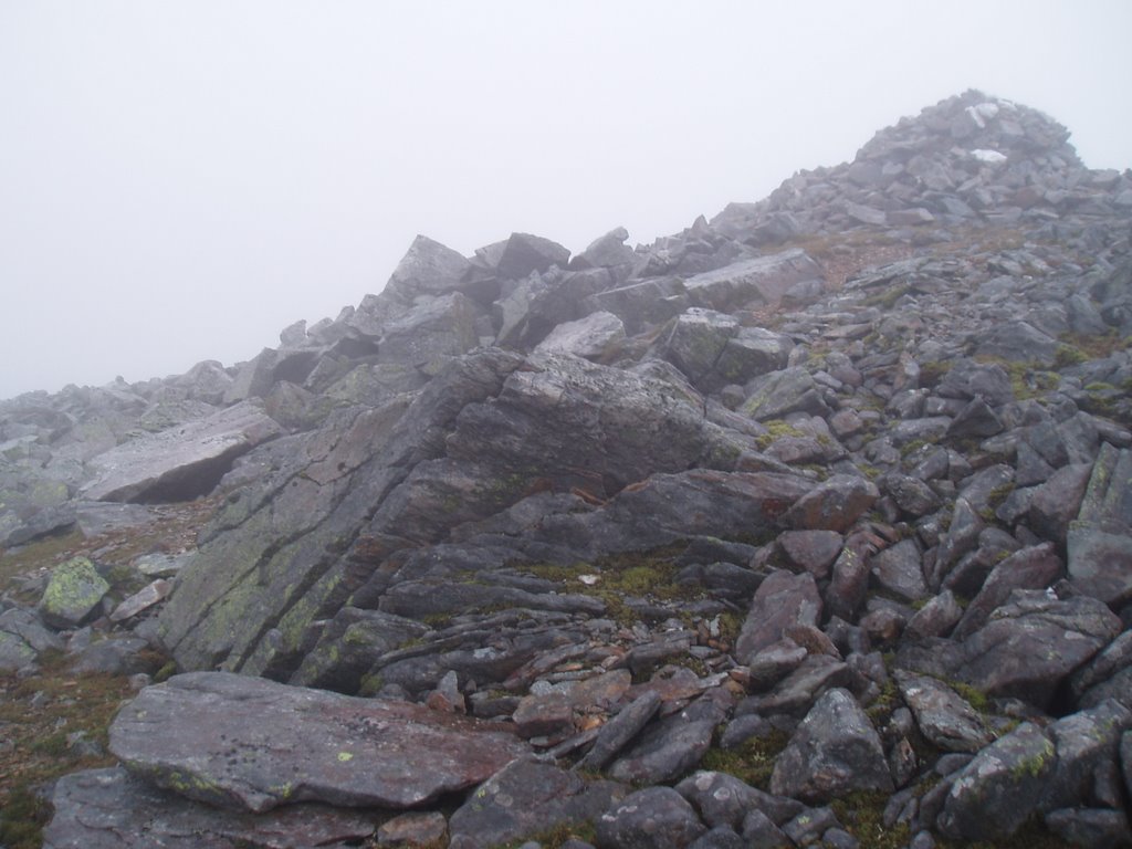
The manufactured path continued until about 800m or so, when the incline starts to flatten out and the second part of the walk starts, namely the wide but heavily rock-strewn summit ridge of Schiehallion. This is quite hard going, especially in the wet, as very careful foot work is required (glasses that I could hardly see through really helped) and the pointy rocks are very slippery when wet (prophets them Aerosmith; I imagine they'd say that it would be even worse with ice).
There's not much else to say as there were zippo views by this time. I trunched on and the little rocks became big slabs, and on one was the cairn. I took the video and turned around. Once off the ridge, I partook in some jogging down the solid main path, and was back for a late lunch in the car after two and a half hours.
As this was my 100th Munro (and probable last of the season what with the clocks going back and the still-tricky toe), I resolved to return to the Moulin Hotel in Pictlochry and have a fine Old Remedial before returning. Mmm.
I will henceforth return to blogging about non-Munro rubbish to see us through the winter; paper in the boots time y'all!
*Could be worse, there's a place just north of Durham called Pity Me...
UPDATE: according to the wise man that is ANR:
The mostinteresting fact about Schiehallion was that it was the site of the first successful experiment to measure the mass of the Earth in 1774. As aside effect it was also the first mountain to be mapped using contour lines. Fascinating...
Labels: Glen Lyon, hiking, mountain, munro, Rannoch, Schiehallion
posted by George at 20:33
5 comments