Monday, July 18, 2011

The Achnashellach and Torridon Hills: Sgorr Ruadh (195)


Walk date: 27/06/11
My Munro #'s:
212


Pronunciations - translations - heights:
Skoor rooa - red peak - 962m


Statistics:
Duration - 12:00 - 17:00
Distance -
16.2 km
Total ascent -
948m
Weather - 'bright grey'
Team - with Paul P
Other hikers: 2


Paul P and George 'Daddy Team' Hiking Trip 2011
Day 3 - Monday

Having done 'Superbig', this freed up a day in our week allowing us to head back to the Achnashellach arena and have a second go at Sgorr Ruadh, having been defeated on a previous excursion due to horrendous weather, see here.

Well the weather on this day was certainly better. As Paul put it, it was pleasantly 'bright grey'. We set off quite late in the day, due to a deserved lie-in, but then also a motor bike crash just down from the bunkhouse, which necessitated an air ambulance landing on the road just outside!

The route up past the train station, into the forest and out is straightforward enough, and then the good path leads you climbing up alongside the River Lair. After a while the path flattens out as you enter the upper glen, with gentler slopes taking you up to the bealach between the munros with its excellent views over to Liathach in Torridon proper.

The climb of Sgorr Ruadh then starts in earnest and is unsurprising to start with, before rock outcrops are met and some minor scrambling is required, something that wouldn't have been good if we'd have pushed on with the last attempt!!

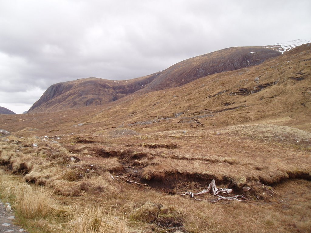
Nonetheless, the summit is soon reached with the good path providing amazing panoramic views over nearby hills and the western coast. Our route on was to head for Fuar Tholl but then to descend before it. This worked out well but for a fair while was pathless and a little hard work around Loch a' Bhealaich Mhoir with many ups and downs and outcrops to walk around. Anyway, soon enough a good path is met which links with the ascent route. A fine day out with kind weather such as this!


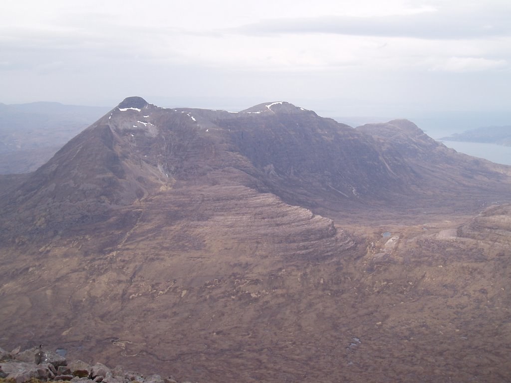
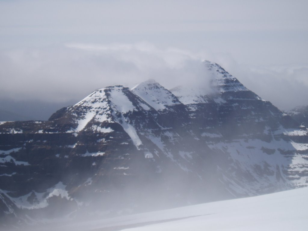
Fuar Tholl looking good:

Not tired from yesterday, not us!

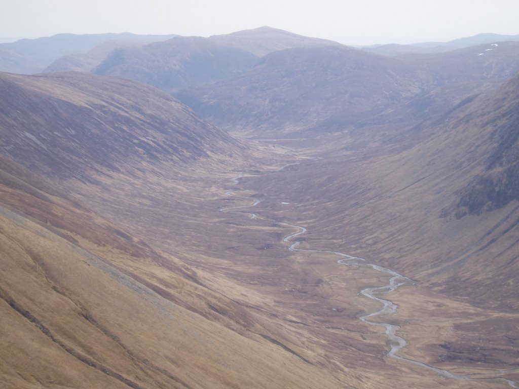
Looking back down the glen:

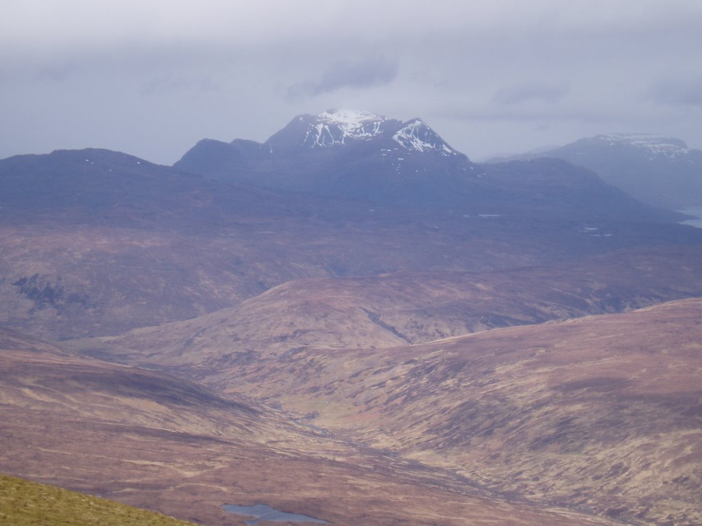
Liathach spotted from the col!

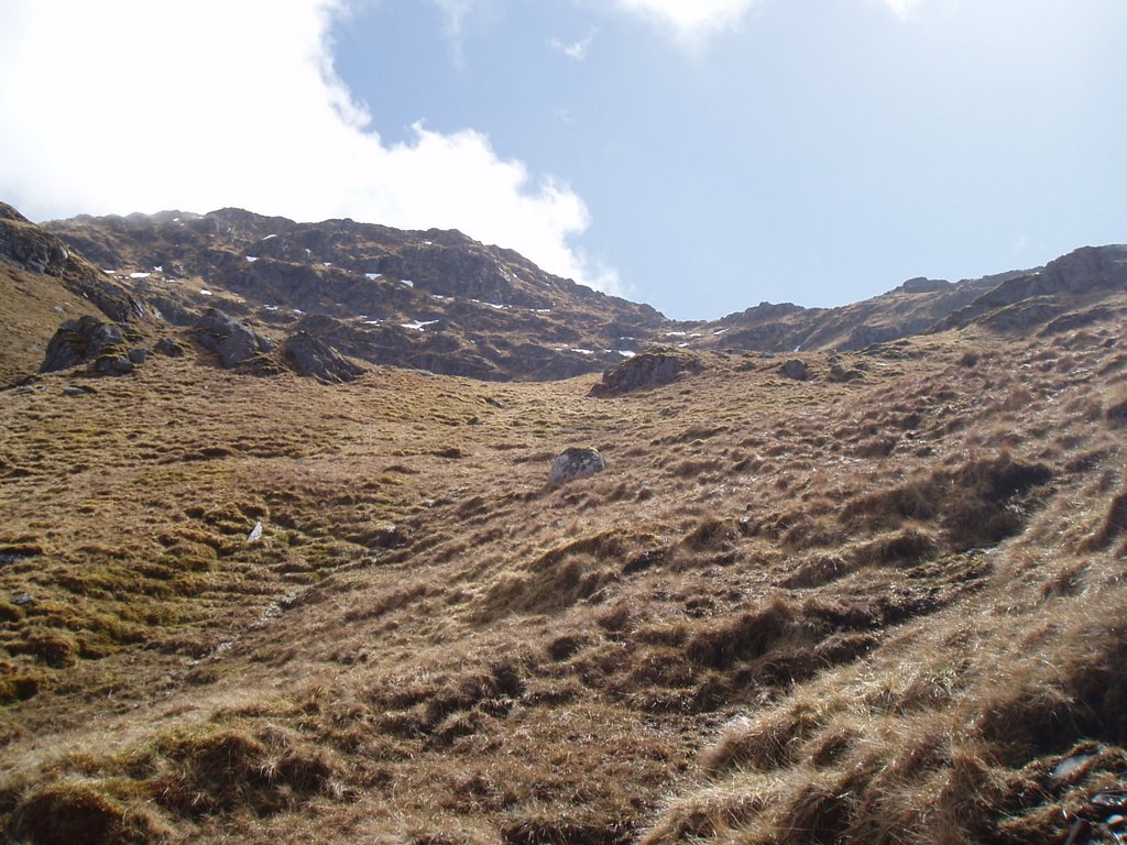
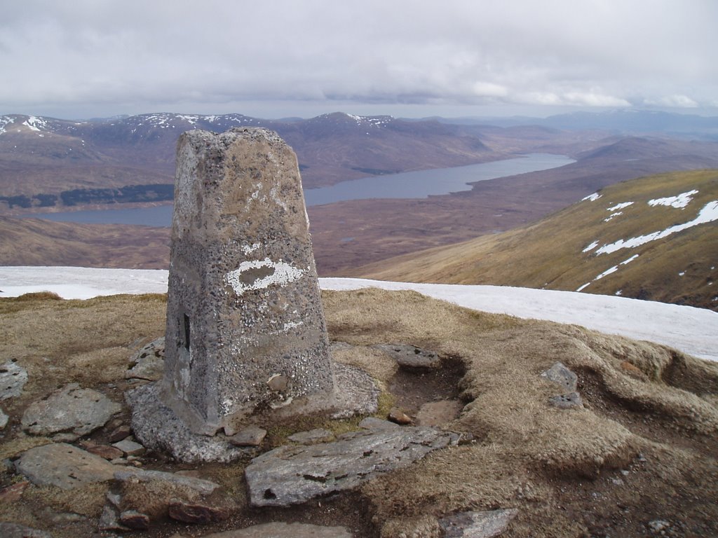
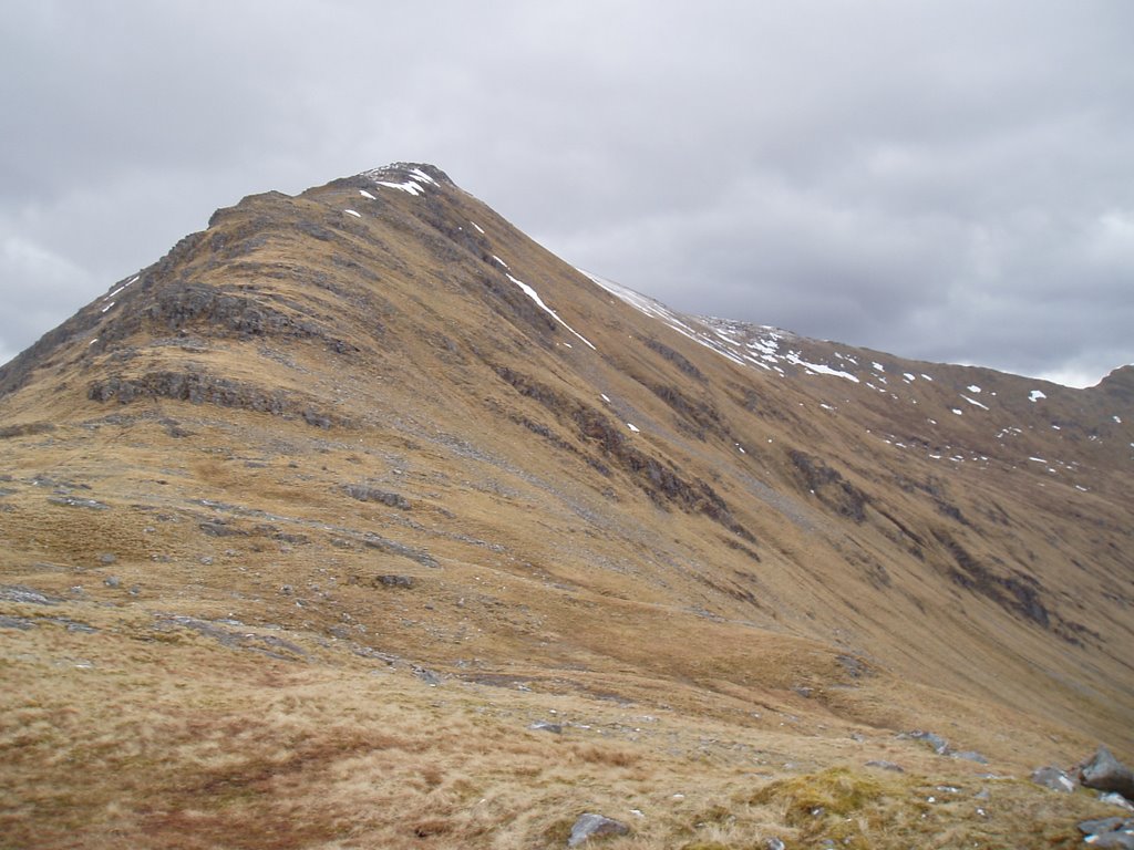
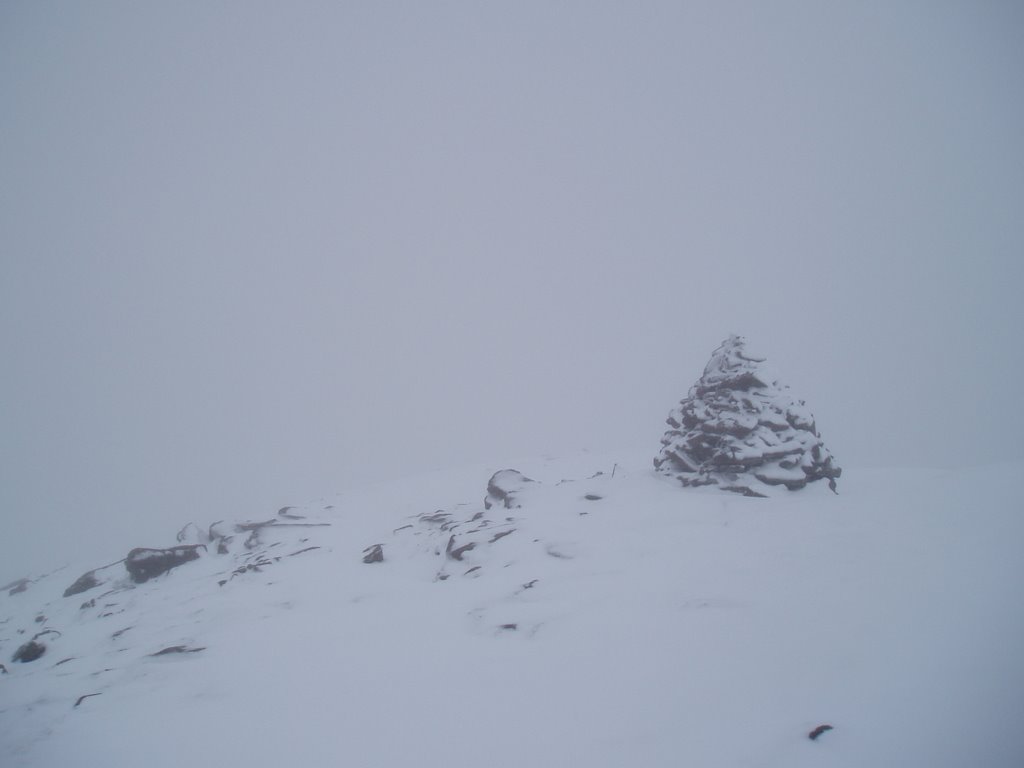
Sgurr Ruadh summit this way!

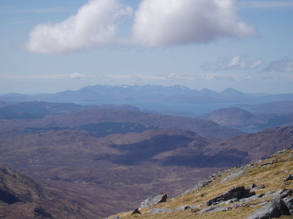
Looking over to Loch Torridon:

With me!

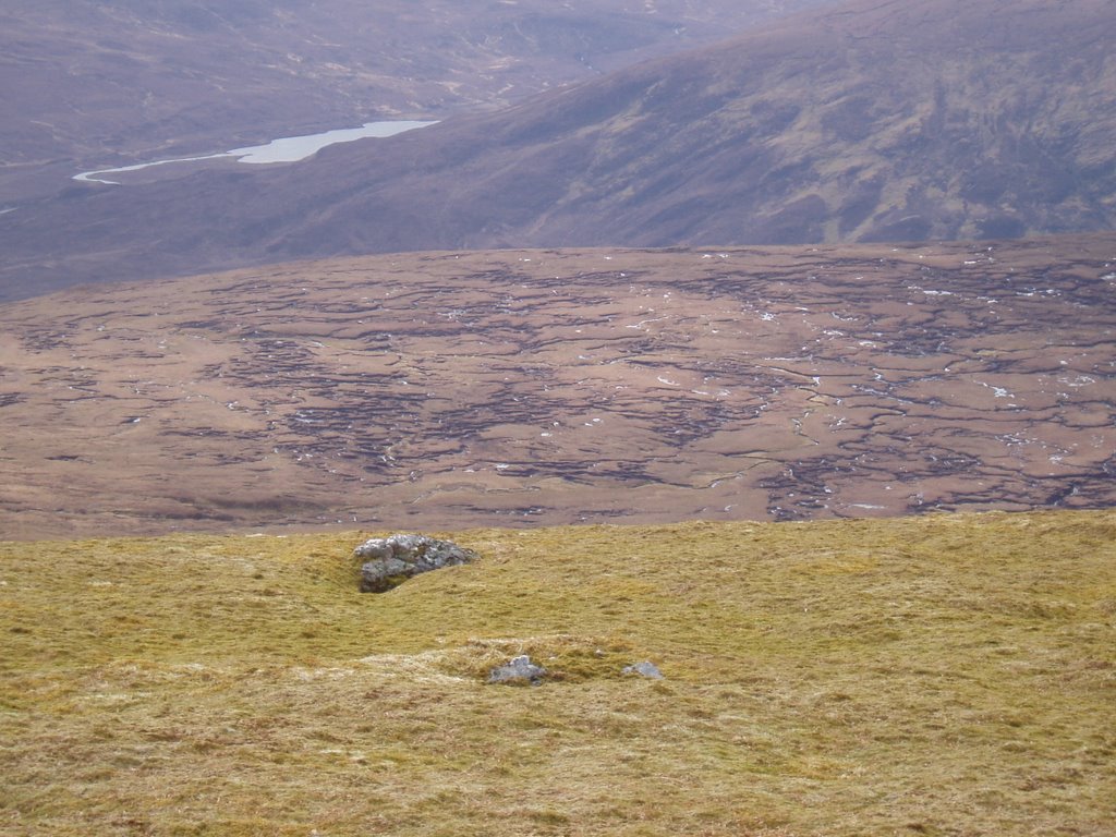
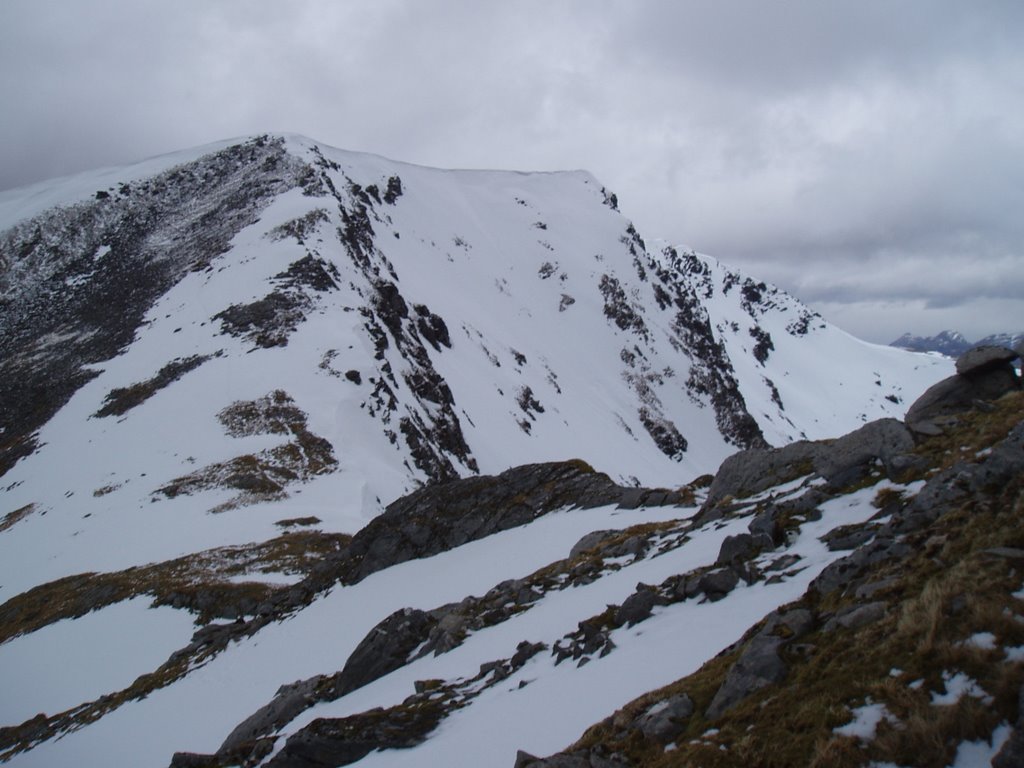
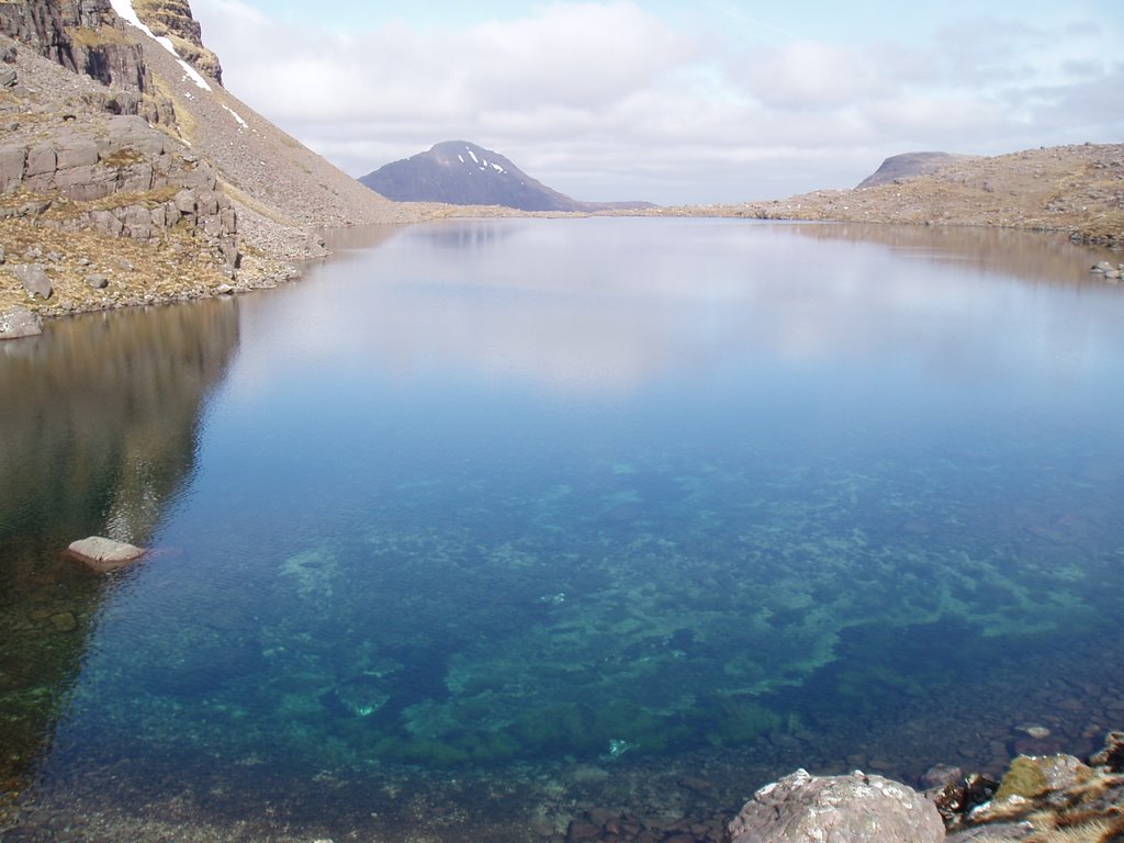
Loch a' Bhealaich Mhor and Fuar Tholl beyond:


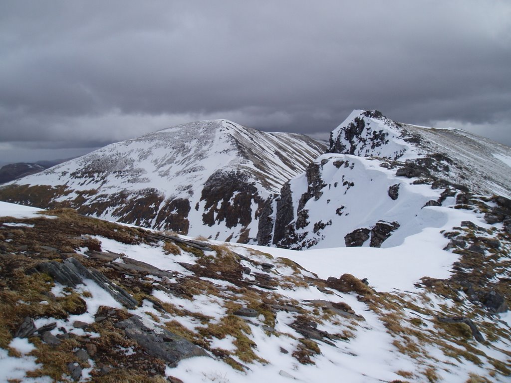
The crags of Fuar Tholl:

Labels: , , , , ,

Thursday, September 10, 2009

Goodbye Ceannaichean

Newsflash: The Munro Society has announced today that Sgurr nan Ceannaichean, which was Munro 284, has been stripped of its Munro status, having been re-measured as 913.4m high (read here). Sgurr nan Ceannaichean is a lovely little hill and I had a great time going up it, which shows how arbitrary all this height focus is, but then we all know that really (as does anyone who's ascended Cairnwell...).
As Sgurr nan Ceannaichean was my 81st Munro all my numbers since then are now out by one. One day I'll update the full history, but don't watch this space.

Catch you all later.

G

UPDATED - ALL NUMBERS ARE NOW CORRECT

Labels: , , ,

Sunday, September 09, 2007

We're still on for 284 then...

As can be read here...

Labels: , , ,

Monday, May 14, 2007

Achnashellach and Torridon Hills: Maoile Lunndaidh (125)

Walk date: 06/05/07
My Munro #'s: 109

Pronunciations - translations - heights:
Moela loondy - hill of the wet place - 1007m

Statistics:
Duration - 09:30 - 19:00
Distance - 35.3km
Weather - Awful! High gusty winds accompanied by ice-cold rain, sleet, stinging hail and snow!
Team - solo
Other hikers: 2. They turned back.


Wide diversions from plotted route due to high rivers:


Hiking Expedition '07 - Glen Shiel area - Day 2 (Sun 6th)

What an epic day! Despite the forecast heavy weather (particularly high winds in the morning), I still naively expected this to be a relatively simple and quick day, even wondering whether I would add on Beinn Sgritheall in the afternoon!! It was somehow fitting that last year's failed attempt on this hill was down to, hey, bad weather including high winds.

After parking in Craig, I took the excellent stalker's track up into Glenuaig, pushing the bike on the ascent but also managing some riding in Glenuaig as the considerable wind was behind me. However, the gusts and the short bursts of heavy rain meant that by the time I got to the Glenuaig Lodge, I was ready for a spot of food in their welcomed walker's shed-shelter (complete with electric heater and light, neither of which were supplied with electricity in the time I was there). As this was only 11:00 and 90 minutes out, I happily spent a half hour here assessing the conditions.

Gotta love that bleak horizon, into Glenuaig:


A nice shelter, but how to work the heater?


My plan all along had been to get 'into position' during the predicted blustery morning (up to 80mph gusts), and then have a quick up and down to the summit, minimising the exposure up top. This had been a decent plan, but due to the high rainfall in the area, the rivers were fierce and the plotted route over the fords was out of the question. I spent a good half hour retracing my steps to Glenuaig Lodge in order to find the nearby footbridge, which I duly crossed.


It seemed so near, but problems were to come!


The easiest crossing all day:

Unfortunately, the crossing by the footbridge merely led to another impassable river, meaning I had to follow it southwesterly, further and further away from my plotted ascent route, looking for a safe place to cross. Nothing convincing came about for the next 3km!! All this time on difficult riverbank walking (along with the rain bursts and gusts of wind of course). At one point I thought there was going to be a good spot, but I then discovered this good spot was on a bit of river that I couldn't get to due to another tributory river being in the way!! In normal flow there would have been many crossing points, but I am deeply conservative with such things, imagining as I do a drenched me flowing quickly downstream over waterfalls and rocks along with my drenched GPS, camera, iPod...


No hose-pipe ban around here:


When one river was already bad enough:


Once finally across, I was far too westerly to return to my plotted route, so I headed up to height up Carn nan Flaclan. Once on top, regular gusts quickened the pace towards this awkward to bag top. Some leaning-in was required but the summit plateau is broad and flat so patience duly served it up.


Up at height but it's still a slog in the wind to bag it:


One bloody difficult hill to bag, my Munro 111:


Wasting no time I spun on my heels back along my ascent route. From here it became quite miserable as I had to push against strong wind that was helpfully bringing along small, sharp, stinging hail into my face. I quickly worked up a method having my GPS in hand and looking out of the way down at it, and simply making sure I retraced my steps along the top.

After what seemed like an age, I gladly started the descent back towards the troublesome river, but this time heading above the boggy land below Bidean an Eoin Deirg to catch it in slower flow. This worked well and I made my way quickly onto the crest of Sron na Fianich for a boggy heather descent back to the footbridge.


Evidence of crofting back down at Glenuaig:


Now sitting in bleach in my bathroom, a good find:


Back at the lodge and reunited with my bike I thought my troubles were over, but the wind along the glen had picked up considerably bringing with it some great heavy sheets of cold rain, together ensuring cycling was either slow and laboured or impossible for the flatter sections. Finally, I made it to the welcomed steep slope down to Craig, but it was time for one more slap in the face as the skies opened again and a prolonged heavy shower took me all the way back to the car, and at that exact point, it stopped.

As quickly as possible I wrapped up my wet gear and made it to Lochcarron, where I knew I would have reception in order to phone a guaranteed anxious Sonia!

One hell of a hill to bag, but coming with a story or two as a result! There will be no quick repeat of this one!

Labels: , , , , , ,

Friday, April 06, 2007

Oh shit...

Sunday, July 09, 2006

Achnashellach and Torridon Hills: Moruisg (255) and now a non-Munro Sgurr nan Ceannaichean (284)

Walk date: 06/05/06
My Munro #'s: 79

Update: 10/09/09 - gurr nan Ceannaichean has been stripped of its Munro status, all numbers are now out by one!

The sturdy cairn of Moruisg:


East from Sgurr nan Ceannaichean into Gleann Fhiodhaig:


Hiking Expedition 2006! ~3 and a half hours. The route from the car park started straightforward enough, through low level farmland; past the cows, over the bridge and under the railway, but then any distinguishable path disappears as rough grass and bog becomes the norm as you approach the imposing slopes of Moruisg.

There is no easy route up Moruisg's slopes, no secret path. You just have to be patient, but the work required for the quick increase in height is sweetened by the corresponding improving views.

Once on top, Moruisg is very flat and on a pleasant day such as this was, it makes for a nice stroll with tremendous views all around. Moving on to the col is easy enough and the turn to take in Sgurr nan Ceannaichean (the lowest Munro) becomes a little steep but keeps a nice path to the top. I believe the tiny southern cairn is the actual summit and not the trig point so make sure you see the job through!

Rather than returning to the col, keep on down Creag a' Chait to the north, where a path takes you all the way down to a forestry fence. Stay on the right of this (including after the river crossing, ignore the welcoming gate through the fence) and it will take you safely back to the railway crossing and your vehicular transportation.

Labels: , , , , , , ,

Tuesday, July 04, 2006

Achnashellach and Torridon Hills: Bidean a' Choire Sheasgaich (224) and Lurg Mhor (163)

Walk date: 05/05/06
My Munro #'s: 77 and 78

The quite steep climb of 'Sheasgaich, looking up:


And down:


Finally onto the ridge of Bidean a' Choire Sheasgaich:


Loch Monar from Bidean a' Choire Sheasgaich:


Coming up on Lurg Mhor:


Looking over to the Cuillins from Lurg Mhor:


Hiking Expedition 2006! 08:45-17:45. This is a long day out! I recommend that you start early, definitely take your bike and having company would help too as this trek gets quite remote!! My time on it was 9 hours and this was in good weather (plus bike); I imagine it can get pretty miserable with rain/snow and wind.

The route to Bealach Bhearnais was the same as Tuesday, including the pushing of the biked up the forestry road. Once there, there is no avoiding the climb of Beinn Tharsuinn; take it on the chin and get to the crest as soon as possible as the walking is easy on top. In poor visibility the wishful mind keeps imaging that you're about to start the Munro climb, but in reality there's an unmissably large drop in height down to the narrow saddle before 'Sheasgaich.

Do not be intimidated by the seemingly impregnable wall of rock ahead of you that is Bidean a' Choire Sheasgaich as the actual route avoids all of that. Make your way down to the stone wall in the low col and follow the river until you fully round the north-western shoulder of the mountain. Now start to climb up over grass, rock and bog, keeping to the left of Coire Seagach moving in a south-easterly direction. This is slow going, so be prepared for a long haul but you do get there in the end! It is worth finding the lochan as from there the path comes into being (although snow tends to accumulate on its route). Quite soon from the lochan area you're onto a nice stroll along the narrow but flat-topped ridge to the summit. I have to admit after the effort on the climb I almost hugged the small but well-formed summit cairn!

I have read in guide books that Lurg Mhor is a disappointment following the effort of Bidean a' Choire Sheasgaich, but for me it was a welcome change; a nice straightforward peak soon reached by, get this, a path! Also, on a clear day like this day was, you can see from the Cairngorms to the Cuillin ridge, which is rather tremendous.

I retraced my steps back and made good use of my newly repaired back brake on my bike as I made the run down the forestry road back to Craig. Really a damn well excellent day, just prepare yourself for the effort involved!!

Labels: , , , , , , ,

Monday, July 03, 2006

Achnashellach and Torridon Hills: Maol Chean-dearg (247)

Walk date: 04/05/06
My Munro #'s: 76

The first sign of the target, Maol Chean-dearg:


Path remaining obvious for now; the south-west ridge:


Another lost hill, ENE to Beinn Liath Mhor:


Hiking Expedition 2006! 10:15-15:00. The second of my two 'light days' proved to be heavier than expected at almost 5 hours, when my usually conservative guidebook had suggested 3-5! Granted, I was taking my time but 3 hours would be some pace!!

I set off from the car park just before Coulags (coming from Locharron) with sunburn-threatening sunshine and only light winds. The public right of way to Torridon marks the way off the road and a Pathways Trust sign encourages you to skirt a property ahead by veering off to the left beside the river. However these footpath types can't make footpaths very well and the way ahead was soon a large collection of mud. The track through the property is soon picked up after this mud and once re-united the going is good though a little wet at times. This path continues on for a surprisingly long time over the bridge, past the bothy and the old stone of Clach nan Con-Fionn, before a small cairn marks the start of the climbing to your left.

As height is increased the target becomes clearer and clearer up ahead. Ascent routes are obviously visible on the scree slopes just south of Coire Garbh, but I kept to my original plan of going up the south-west ridge. If taking this route, wait for the bealach where the paths are clearly revealed. Unfortunately, I was tempted too early and made slow progress over loose stone, only then to see the paths once the hardest work was done!

From the top of the ridge the path remains obvious for a short spell, but is soon lost amongst more loose stone and plenty of sharp rocks. For the path to the summit, keep to the left (west) of the boulder field; a tiny cairn on top of a large rock marks its start, but this is initially hidden by an annoying hump on the section just before the climb. Indeed my knowledge of the cairn is retrospective as on the way up I made a direct line up the boulder field, which to be honest is a fine route as the boulders are sturdy, only finding the actual path on the return. At the summit you are greeted with a large cairn complete with shelter sections and really spectacular views all round. For the second day in a row, the forecast bad weather only hit once I was safely in the car. Now that's the way it should be!!

Labels: , , , , ,

Sunday, July 02, 2006

Achnashellach and Torridon Hills: Fionn Bheinn (246)

Walk date: 03/05/06
My Munro #'s: 75

ENE over Loch Fannich from Fionn Bheinn:


Slioch to the north-west:


That's a lot of bog! Gaiters at the ready!


Hiking Expedition 2006! 10:00-12:45. In order to keep danger to a minimum and enjoyment to a maximum, given the inclement weather and my swelling feet, I decided to ditch the planned Beinn Liath Mhor and Sgorr Ruadh day from this week's hiking and have two short 'recovery days'. Thus, the short hike of Fionn Bhein the only target for this day with the next day only taking in Maol Chean-dearg.

The day started a bit later than usual as I was determined to get the maximum benefit from these two lighter days in what was expected to be bad weather. However, my arising was greeted with sunshine and light winds! Keeping a suspicious eye on the conditions I made my way to Achnasheen.

The initial few steps of the walk were uncomfortable for me due to the road and then flat terrain causing a lot of rubbing around the nexk of my boots. This soon passed however as the route moved beyond the rough (& wet) flat grassland of the farm to the rough (& wet) incline of the heathery slopes alongside Allt Achadh na Sine. Keeping to the right bank of the gorge until the incline flattened out again, progress was rapid enough. As the river swept away to the left I made my way to the right across the annoying classic bog terrain of small bog-cliffs, jumps and many a U-turn.

Starting on the ascent, I ignored the satellite top and made a direct approach, keeping myself childishly entertained by pegging my progress against an elderly hiker far off in the distance. Without much problem the rounded top of Fionn Bheinn was reached and the impressive views made up for its own lack of character. By this time, the weather had turned windy and some rain had appeared, but it was nothing to worry about. A quick return saw me lunching in the car ready to rest my feet over the remainder of the day.

Labels: , , , , ,

Wednesday, June 28, 2006

Achnashellach and Torridon Hills: Sgurr Choinnich (139) and Sgurr a Chaorachain (78) BUT NOT Maoile Lunndaidh (125)

Walk date: 02/05/06
My Munro #'s: 73 and 74

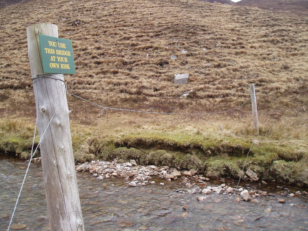
Interesting use of the word 'bridge':


The west ridge of Sgurr Choinnich offers no shelter:


Sgurr Choinnich (right) and Sgurr a Chaorachain (left):


Looking back to Sgurr Choinnich just after the col:


My 'lost' hill, Maoile Lunndaidh:


Hiking Expedition 2006! 09:00-16:30. Knowing that today's walk was one of this expedition's longest, and that severe weather in the form of 60 mph gusty winds and possible white-out conditions was due, I set off in the car with a deep breath and a 'turn back the second you become uninterested' attitude!

The car park at Craig is a forestry car park on the right if coming from Achnasheen, blink and you will miss the entrance. Having put my bike together, I set off across the railway line and onto the forestry track. This started climbing steeply once the river had been crossed and to be honest, with my absence of cycling muscles and 13 year old bike, I pushed it along for most of it!

However, I was still at the bridges over Allt a' Chonais after an hour's effort. Now, when we say bridges, do not be expecting quaint weathered wooden constructions put together by a hard working old hermit. Instead, expect two loosely hung cables, one above the other, and absolutely nothing more. I searched up and down the river for a short while, but decided that the river was just a little too high. Begrudgedly, I started across the second bridge and I must say that it was actually ok once I had got used to the sudden switches from leaning forward to back and back again. This second bridge had its cables closer together and in any case was the better one for the route ahead so check this one out if you're up on this route.

After the bridges, a good path leads up to Bealach Bhrearnais. Although to this point, the odd gust had hit me, there had been no real problems, and gladfully no sign of rain or snow. Of course, as soon as I hit the bealach and started up the exposed west ridge of Sgurr Choinnich I started getting much more weather and my walking started to be impeded. Instead of the path, I started walking south of the crest to minimise what problems being blown over would cause! However, I needed to get to the crest for the summit and I did this by creeping hunched over, for a moment on my knees, to touch the summit stones before retreating and starting eastward again.

This avoidance of the Sgurr Choinnich crest caused a further problem as the ridge to the col before Sgurr a Chaorachain went straight from it, but instead I found myself too far down the slope, tentatively stepping onto a snowbank to try and get a visual of where the ridge began! Finally realising what was necessary, I crept back to the crest and then gracefully sat myself down and pushed myself along with my hands and feet along the snow bank until I got to the rock of the ridge. Once I was onto the ridge, I continued my crest-avoidance and made my way through deep snow and over rock toward the summit of Sgurr a Chaorachain. Going was very slow with the wind increasing and threstening black clouds dispatching from the obvious blizzards on the hills to the south of Loch Monar, but I finally got up to height just below the summit.

Taking in the peak of Sgurr a Chaorachain was still not straight-forward though, as my crest-avoidance had brought me to an omnious snow-bank just south of the summit. From my position below this bank, I could see nothing at all of the route ahead, even at full stretch. Although by my own and by the GPS's reckoning, it was but a brief step north to the summit, the wind was so strong that stepping over the bank would most likely mean falling over, and there was no visual confirmation to stay that no, of course there wasn't a sheer drop immediately ahead. It most likely took me only five minutes to build up the courage to trust the navigation but it felt like fifteen! Suddenly, I moved onto the top of the bank in a crwal and literally on all fours, made my way onward, no doubt looking very sexy! Almost immediately, I thankfully saw the summit stone ring and, tapping it quickly, transferred back to merely hunched walking, and picked up speed down the slopes to the north.

Very quickly onto the sheltered side of the hill the effect of the wind was much reduced and I started exhaling waves of relief. Having decided somewhere between the two hills to ditch the third, Maoile Lunnaidh, I made my way down to the forestry path again. Sitting having a second lunch, I started to seriously contemplating taking in Maoile Lunnaidh after all, just ascending it from that sheletered side and indeed I even walked for fifteen minutes along the forestry path toward it. Wisely though, it being 15:15 already, and with my feet throbbing as the full size of it came into view, sense prevailed and I reversed my route.

Once the bike was picked up, progress was rapid, especially as I discovered that my rear brakes weren't working and squeezed my front ones so much that the air was particularly sulphurous.
My drive back went through Locharron where I was able to replace the waterproof trousers that my bike had just chewed through! Blustery day out with no too much regret over the 'lost' hill.

Labels: , , , , , , ,

Friday, June 23, 2006

Achnashellach and Torridon Hills - Beinn Alligin: Tom na Guagaich (268) and Sgurr Mhor

Walk date: 01/05/06
My Munro #'s: 71 and 72

Tom na Guagaich looking chilly:


The ridge north off Tom na Guagaich:


The impressive Eag Dubh na Eigheachd:


At last, Sgurr Mhor. Time to go home!


Yours truly, taking in the Scottish Spring:


Hiking Expedition 2006! 08:30-14:30. The 'Horns of Alligin' are enthused about in many a guidebook. However, still suffering from my Aonach Eagach hangover, I didn't want to commit to them straight-off. To this end then, instead of the circular route recommended by my guidebook in a counter-clockwise direction, I decided to flip it round, thus making the Horns an optional extra with re-tracing my steps from Sgurr Mhor being the main idea. As it turned out, the snow that came down on this day, put any notion of the Horns far from my mind, even threatening the attempt on Sgurr Mhor!

From the carpark, immediately next to the bridge on the road I headed LEFT of the river to the start of the path toward Tom na Gruagaich. The going was steady on a decent path, but one unfortunately blighted in sections by boggy ground; this day was very wet and the low cloud completely hid the hill somewhere ahead. From the lower ground, a steep stile soon led to a greater incline and the lack of view made the word of a woman from the hostel, 'You're going west to east? That's so steep!', magnify in their power of foreboding! In actual fact, it was nothing particularly bad, just an honest direct approach on a Munro hill. By 500m, all the rain around had become snow and the ground started to get rather white, obscuring the path. Not that there was much choice; the channel of Coir nan Laogh has sheer sides!

Guidebooks talk about the sudden revealing of the view from Tom na Guagaich and I can imagine this is the case as the hill blocks all views until the trig point is reached when the ground immediately falls away. However, on this day, all that could be seen was white in all directions!

After the steep incline up to Tom na Guagaich, the second part I was really worried about had to be tackled. This was the ridge that drops down from this hill to the north and the way ahead. From the map, this looked incredibly narrow and fairly steep. No matter though, as even in the fresh snow it was at worst some enjoyable scrambling and mostly a straightforward path, I just made sure I took one step at a time.

In bad visibilty watch out for the cairn at 862m, as wishful thinking can make you imagine its Sgurr Mhor. Sgurr Mhor itself is soon reached however, that is after the impressive Eag Dubh na Eigheachd gash and a quick left at the end of the climb. Here is the point from which you can progress over the Horns, but like I said, not for me in conditions such as this day's. If they are for you, then nice one, and enjoy! Me, it was back along the same route. No problems encoutered.

Labels: , , , , , , ,

Thursday, June 22, 2006

Achnashellach and Torridon Hills - Beinn Eighe: Ruadh-stac Mor (120) and Spidean Coire nan Clach (150)

Walk date: 30/04/06
My Munro #'s: 69 and 70

Looking down the corrie over Loch Coire Mhic Fherchair:


The extremely sheer drops of Coinneach Mhor:


Coming up on Ruadh-stac Mor:


Great views of Liathach from Coinneach Mhor:


Approaching Spidean Coire nan Clach:


Hiking Expedition 2006! 08:30-15:00. From the car park at 957568, the good and obvious path rises gently as it rounds Stuc a' Choire Dhuibh Bhig at the eastern end of Liathach and is then flat and simple all the way into the corrie of Loch Coire Mhic Fherchair, which actually takes a surprisingly long time to get to.

The corrie itself is really is impressive as the guidebooks make out, with crystal clear water revealing rocky and algae-clad sections of the loch-bed, coupled with the three mighty buttresses of Sail Mhor. From the corrie, the first target, Ruadh-stac Mor, can be seen clearly provided there's no cloud in the way. My original plan for an ascent had been to climb the grass and rock slopes to hit the hill's spine north of its col with Coinneach Mhor, however the snow that remained in the short gully to the col revealed footprints, and these tempted me to take that route. Unfortunately, the snow on this section was much harder and icier than I had expected, especially given the soft snow the day before on Liathach. To add to it, the dry sections were made up of the loosest type of scree. Progress was all-round slow. About half-way up, some easy-looking scrambling routes over the rising rock sides became apparent, and I decided to give them a go. Soon however, the scrambling increased in incline and started to get worryingly near the foreboding sheer drops on the eastern end of Coinneach Mhor's north wall. Some retraced steps got me next to the snow channel again, but thankfully higher up than I'd left it! From here, a short horizontal version of the previous day's kicking and punching efforts got me to the footsteps again, which at the higher altitude were solid enough to not give way, and so could act as a useful staircase! Once on top, Ruadh-stac Mor was easily reached and I spent the way wondering how the grassy slopes would have worked out.

From the summit, the col was soon revisited and a stiff but short climb got me onto Coinneach Mhor. From that point on the route was easy with no real danger as long as you keep away from the edge! A good climb gets you onto the trig point, but look at the map closely as the actual summit of 933m is a short distance NNE with the link involving some light scrambling (although it could prove heavier with ice!).

Returning to the trig point, a quick southward stretch gets you to the cairn that marks the start of the easterly drop down along side Coire an Laoigh. On this day the slopes were heavily snow-laden which made things interesting though manageable. The rest of the route back is a simple path followed by the inevitable road walk, but it comes with excellent views of Liathach!

Labels: , , , , , , ,